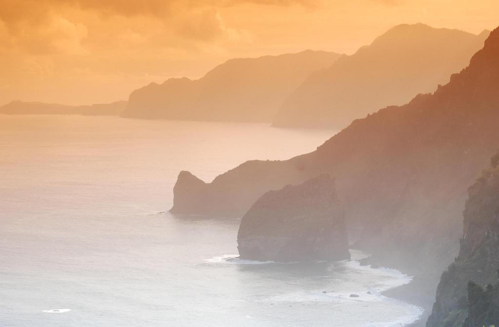
Arriving in Georgetown, the early Madeiran immigrants of 1835 cannot have experienced a greater contrast with the land they’d left behind. Whereas the sugar fields of Guyana are hot, low and flat, the Madeiran landscape is unimaginably precipitous. The island forms part of a volcano that sits, twice as high as the French Alps, on the Atlantic Ocean floor. A staggering 1,800m of this volcano rises above the water, almost sheer in places. No wonder Madeiran fishermen can find deepwater fishing only a few miles off shore.
The island lies 796km off the Moroccan coast, and is also tiny, only 54km long and 23km wide. About 20% of it is covered in a prehistoric laurel forest (devastated elsewhere, in Europe, by various ice ages), and there is a high central plateau, a bleak and windy place (like Scottish moor) where the clouds off the Atlantic condense, giving the island a huge reservoir of water. Much of the rest of the land is too sheer to be of much use, and so the human population of 270,000 is forced to farm the few tiny patches that remain.


